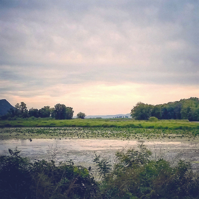
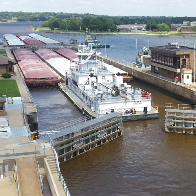
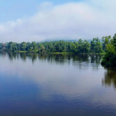
The Upper Mississippi River System (UMRS) is a large and diverse river system that changes character along its 1,200 mile network of rivers and canals and 2.6 million acres of floodplain. It supports more than 30 million people in its watershed, a significant commercial waterway, more than a million acres of ‘‘floodplain’’ agriculture and about one-half million acres of river-floodplain managed for fish, wildlife, and recreation. Large-scale geomorphology and climate patterns largely determine the hydrologic characteristics of a nested hierarchy of UMRS river reaches. The human impacts above are also important drivers determining hydrologic characteristics within the hierarchy. Understanding the relationship among physical and chemical processes and ecological responses is critical to implement an adaptive management framework for UMRS ecosystem sustainability. Historic or contemporary data from 42 locations were used to examine changes in UMRS hydrology and to demonstrate the utility of a multiple reference condition analysis for river restoration. A
multivariate mathematical framework was used to show how river stage hydrology can be characterized by the variability, predictability, seasonality, and rate of change. Large-scale ‘‘geomorphic reaches’’ have distinct hydrologic characteristics and response to development throughout the UMRS region, but within navigation pool hydrology is similar among all impounded reaches regardless of geomorphic reach. Reaches with hydrologic characteristics similar to historic reference conditions should be examined to determine whether those characteristics support desired management objectives. Water levels can be managed, within limits to support navigation and agriculture, to more closely resemble natural hydrology for the benefit of a variety of species, habitats, and ecological processes.
River Stage Response to Alteration of Upper Mississippi River Channels, Floodplains, and Watersheds
January 16, 2010