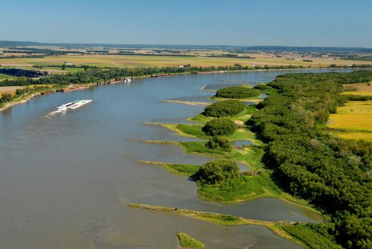
USACE St. Louis District Wing Dams
USACE St. Louis District
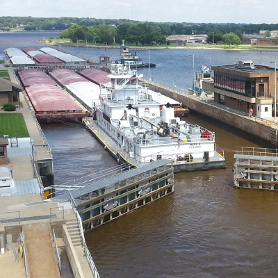
The Upper Mississippi River Basin Association (UMRBA) and several partner organizations are launching a project that will identify which basin watersheds have greater impacts on river flows that support the nine-foot navigation channel essential to commercial barge traffic on the river.
U.S. Geological Survey is providing $600,000 to support the project. The University of Minnesota will conduct the hydrologic analysis. UMRBA will facilitate interstate coordination. The states of Illinois, Iowa, Minnesota, Missouri, and Wisconsin will provide technical expertise to the University of Minnesota. U.S. Geological Survey will also provide technical expertise to the states and the University of Minnesota, as they explore how the information can be used to support decision making.
The objectives of this project are to:
- Estimate the existing hydrologic flows from the basin watersheds into the Upper Mississippi River System navigation channel
- Determine the thresholds of discharge in various reaches at which negative impacts may occur to the UMRS navigation channel (including duration and frequency of occurrence)
- Explore how diversions and consumptive uses might affect the hydrologic flows from the basin watersheds into the UMRS navigation channel
- Scope follow-on research goals for assessing the implications of limited water availability analysis for river products and services beyond the UMRS navigation channel – e.g., impacts to drinking water, recreation, and aquatic ecosystem health of the UMRS
- Convene interstate conversations among Illinois, Iowa, Minnesota, Missouri, and Wisconsin technical experts and agency leaders to a) learn the research findings, b) relate the research findings to management and policy decision making, and c) recommend principles and policies for cooperative and effectively managing the water resources of the Upper Mississippi River basin
In a related project, Illinois DNR secured a $282,000 grant from the U.S. Environmental Protection Agency to build a database infrastructure that will store the water quantity data from Illinois, Iowa, Minnesota, Missouri, and Wisconsin. The database will allow the data to be readily accessible and available for basin-scale analyses.
Beyond this initial partnership project, UMRBA hopes to expand assessments to examine future climate conditions and the implications of water availability to the river’s many different water uses.
