Mapping and Spills Program Director
Mobile phone

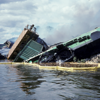
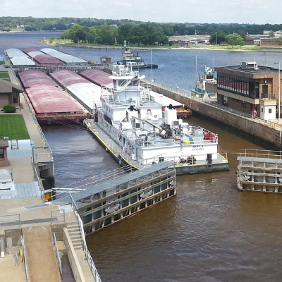
Mark Ellis took on the role of Mapping and Spills Program Director in 2017 after 10 years as the Inland Sensitivity Atlas Project Coordinator. Mark directs the UMR Hazardous Spills Coordination Group and works with state, federal, tribal, local, and private sector partners to increase prevention of and preparedness for spills of hazardous materials in the region. He also leads mapping work to support USEPA Region 5’s Inland Sensitivity Atlas.
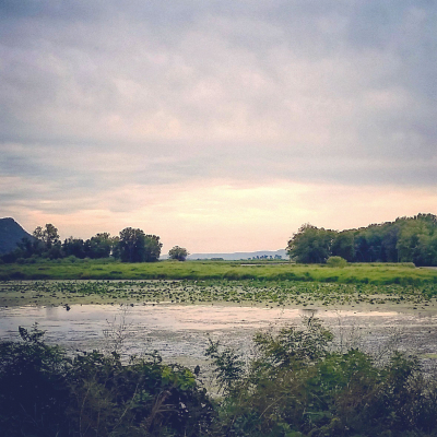
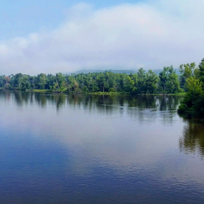
Mark enjoys sightseeing and hiking the trails along the Mississippi River bluffs at Effigy Mounds National Monument, near Harper’s Ferry, Iowa.